Explore Santa Cruz


Nearby LocalWiki regions:
Fortress Bay Area
95033
San Jose
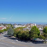
San Jose, California
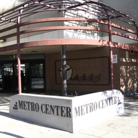
Santa Clara
Mountain View
LocalWiki is a grassroots effort to collect, share and open the world’s local knowledge. We are a 501(c)3 non-profit organization.


Except where otherwise noted, this content is licensed under a Creative Commons Attribution License. See Copyrights.